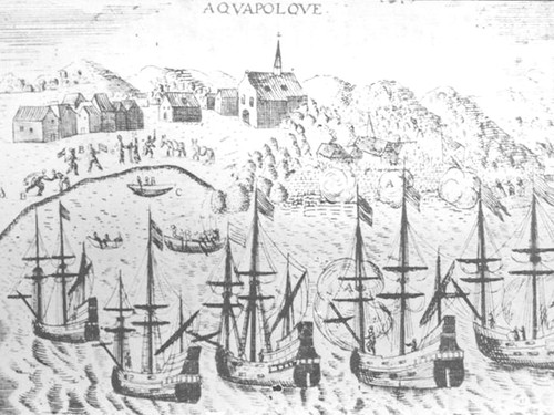
Mapping the Pacific


Western cartography
Although there are Chinese records from 1226 mentioning islands located in the area of the Philippines, no Chinese map referring to the area now called “Micronesia” is known to have survived the passage of the centuries.
Cartographic representations of the Pacific Ocean first developed in Europe at the end of the 15th century, when the newly “found” land in the Americas was incorporated into maps. A relatively wide empty space separating Asia and America can be considered as among the earliest representations of the Pacific. As cartography developed, mapmakers naturally placed Europe at the center of their world maps. Hence, up to now the most widely used world maps show Oceania divided into two opposite halves, on both margins of the map. During this time, cartography represented Oceania as a marginal space.
During the age of exploration (early 15th Century – early 17th Century), charts had great military and political value. The knowledge and information contained in them was often considered secret, so charts rarely circulated openly. On many occasions they were stolen or even purposely falsified. Every new voyage or expedition meant the incorporation of new data. In Seville, the Padrón General was a carefully protected master chart in which all new discoveries made under the auspices of the Spanish Crown were incorporated. It was updated by Diego Ribero, probably the greatest cartographer of his time.
Scarce knowledge of the Pacific
Europeans had known of the existence of islands in the Pacific Ocean since the voyage of explorer Ferdinand Magellan in 1521. Excluding a 1525 drawing, attributed to Magellan crew member Antonio Pigafetta, depicting three islands named Ladrones, the shorter version of Islas de los Ladrones (Island of Thieves), as the Marianas was formerly known, the earliest map showing what could be Guam and the other islands of the Marianas is the 1540 map of Asia and America by Sebastian Münster. The map includes the term “Mare Pacificum” (which is Latin for peaceful sea), and it is the first appearance of the term on a printed map.
The map discloses the existence of a few islands in the area of Micronesia, though these were very roughly sketched and included no further reference. By the mid-16th century very little was known in Europe about the Pacific other than there was a handful of inhabited islands of different sizes.
Different cartographers gathered the information of Pigafetta and other accounts of the few survivors of the Victoria, the only ship of the Magellan expedition to return. On that expedition they only saw three islands of the Marianas, therefore the first maps of the Pacific – starting with Giacomo Gastaldi in 1546 – show a vague group of three or four islands located near Mindanao and Luzon in the Philippines. But the map of Gastaldi incorporated new knowledge, such as the increasing distance between the Americas and South East Asia; and within that vast space, four islands named “Yslas de los Ladrones.” Gani islands, located in the northern part of the Marianas archipelago, would not appear until later.
Growing awareness
By the time Abraham Ortelius prepared his Maris Pacific in 1589, there was more knowledge to incorporate: his map shows the name Restinga de Ladrones (restinga refers to a group of rocks or reef submerged under a few feet of water), along with some of the archipelagos of the central Carolines and the Palaos.
Initial confusion over the few references available made the initial mapping of Micronesia a very complex process throughout the centuries. Up to now there is no general consensus among academics on where to locate most of the sites where the early explorers first landed.
In many instances, the information for charts came from indigenous informants. The best example in the case of Micronesia is the map of the Carolines prepared in 1696 by Father Paul Klein. His map was based on information provided by Micronesian castaways who are believed to have been from Palau, and it included the number of days of navigation required to circumnavigate an island or to travel to the adjacent one.
Cartography referring to Micronesia would later be updated in the last decades of the 18th century and in the early 19th century as a result of the scientific expeditions of Louis Duperrey, Otto von Kotzebue, Alejandro Malaspina, Frederic Lütke and Dumont d´Urville. It was d´Urville who coined the terms “Micronesia,” “Polynesia,” and “Melanesia” in 1831, although “Micronesia” had been first proposed by French cartographer Domeni de Rienzi earlier that same year.
In 1825, Luís de Torres, a CHamoru-Spanish official, made some early adjustments to the cartographic records on Micronesia in his contributions to a map of Ulithi, Fais and other islands being prepared by Kotzebue. Torres´ first-hand knowledge of the region is evident in his careful inclusion of the proper indigenous spelling of some of the islands. Kotzebue credited Torres as the source of information for the map.
For further reading
Suárez, Thomas. Early Mapping of the Pacific: The Epic Story of Seafarers, Adventurers and Cartographers Who Mapped the Earth’s Greatest Ocean. Singapore: Periplus Editions, 2004.
Wroth, Lawrence C. “The Early Cartography of the Pacific.” Papers of the Bibliographical Society of America 38, no. 2 (1944): 87-268.