Port of Guam
Commercial Port
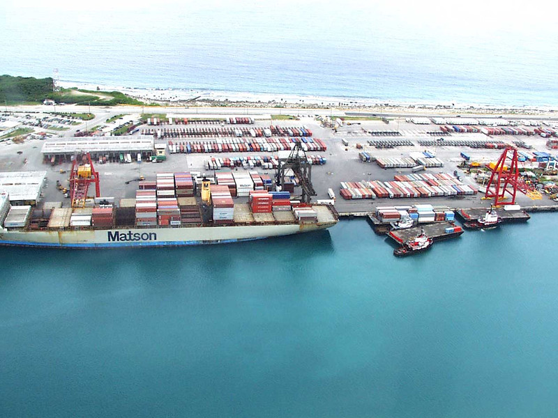
Guam’s commercial port, operated by the Port Authority of Guam, is located at Cabras Island in the village of Piti. It is Guam’s only deepwater port and it handles approximately 90 percent of the island’s total imports.
Approximately 100,000 shipping containers pass through the port annually. In fiscal year 2008, over two million revenue tons passed through the port’s docks.
Management
The Port Authority of Guam, which manages the port, is an autonomous agency of the Government of Guam. The commercial port operates on its own income and is run more like a business enterprise than a government agency. It raises capital funds by securing its own credit. Its debts and operating costs are paid out of charges, fees, and other revenue from its facilities.
The Port Authority of Guam had approximately 320 employees in 2009. It is governed by a five member non-salaried board of directors that is appointed by the governor of Guam for three-year terms. The board’s policy decisions are carried out by the port authority general manager.
Facilities
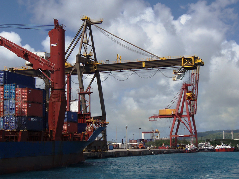
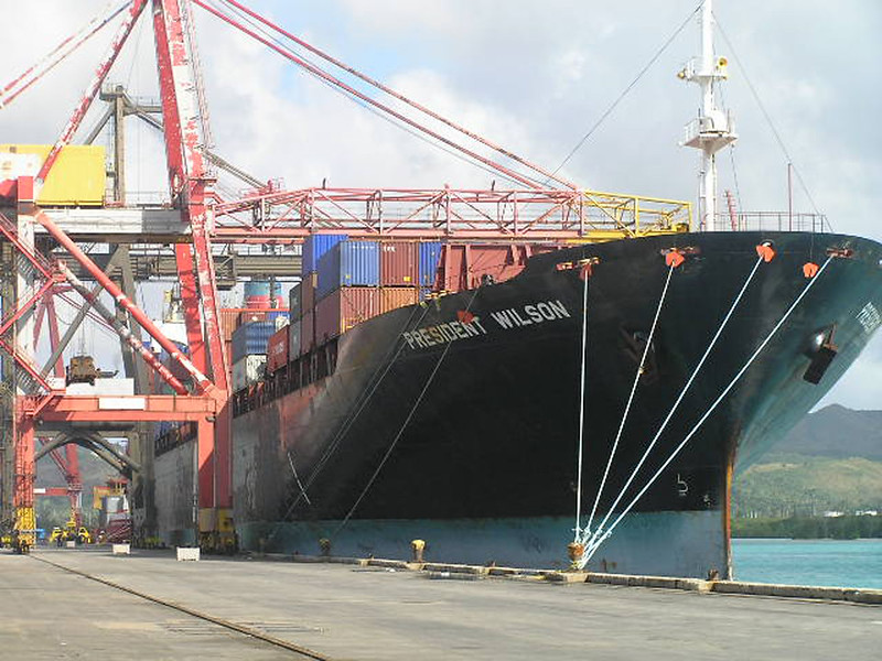
The port is located on 30 acres of land on and adjacent to Cabras Island in Piti. The port authority owns and operates five cargo handling piers and two fuel piers as well as three marinas and a harbor of refuge. It contains 2,650 feet of docking space for container, break-bulk, fishing, and passenger vessels. Cargo is handled by two rail mounted gantry cranes (40 ST capacity), two rubber tire gantry cranes (40 LT ton capacity), one mobile harbor crane (104 ton capacity), one top lifter, four side loaders, two 20-ton heavy forklift, twenty-four tractor trailers, and a fleet of forklifts. The port compound comprises 26.5 acres of container storage space along with the maintenance and repair facilities which encompass 53,600 square feet.
History
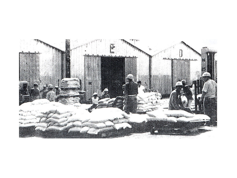
The Government of Guam was given control of the Commercial Port of Guam in 1951 as part of a larger transfer of authority that came with the establishment of the island’s civil government with the passage of the Organic Act. Before this time the port had been under the control of the US Navy.
The Navy leased 24 acres of land to the newly established local government to construct the port. This land was on Naval property in the Inner Harbor and the Navy continued to maintain strict control of all sea traffic, which was minimal at the time, so not a major issue. The only commercial shipping agency was Atkins Kroll (AK). The AK steamship arrived every 15 to 23 days. Traffic began to pick up in the 1960’s, however, and by 1969 there were five different shipping agencies representing several shipping lines doing business on the island.
Plans for a new harbor at Cabras Island began in 1964 when the Commander Naval Forces Marianas (ComNavMar which is the Navy command in Guam) proposed that the commercial port be moved out of the Inner Harbor. Much of the money used to construct the new port came from the Guam Rehabilitation Act of 4 November 1963 which provided $45 million in federal funds to rebuild the island after Super Typhoon Karen hit Guam in 1962.
In 1966, 62 acres of land were transferred from the Navy to the US Department of the Interior for the construction of a new port and industrial park at Cabras. Thirty acres were designated for the port and 32 acres were for the industrial park. In November 1964 the first contract was awarded to begin the dredging of the harbor and to fill in 12 acres of submerged lands. In 1969, this land was transferred to the government of Guam and the port facilities were turned over to the Government of Guam 24 June of that year.
In 1975 the Port Authority of Guam became an autonomous agency of the government of Guam.
On 17 June 2002, Public Law 26-106 was passed renaming the Port to Jose D. Leon Guerrero Commercial Port, after the first Commercial Port manager who was instrumental in having the US transfer the Port facilities and properties to the Government of Guam at no cost in 1968.
Since that time additional land has been transferred to the port authority so that it now controls over 1,000 acres in the Apra Harbor area. This land gives the port the capability to expand to meet future needs.
Today, the Port of Guam, located along major Pacific shipping and air routes, is an important transportation hub linking the Commonwealth of the Northern Marianas, the Micronesian islands, and the expanding Far East markets with the US and the rest of the world.
For further reading
Guam Daily News. “First Time in History: Guam Now Has Its Own Port Facilities.” 24 June 1969.
Port Authority of Guam. “Port Authority of Guam – We Keep Guam Moving.”
Rogers, Robert. Destiny’s Landfall: A History of Guam. Honolulu: University of Hawai`i Press, 1995.
US Naval Research Laboratory. Typhoon Havens Handbook for the Western Pacific and Indian Oceans. Edited by Sam Brand. Report NRL/PU/7543-96-0025. Washington, DC: NRL, 2008.


